


March — a month that often loves to bring it all, did not disappoint in 2019! We saw our first 70-degree day of the year, which of course, came just ten days after we set a record low temperature of -3 degrees. While we rode the temperature rollercoaster, the month came in active and stormy as well as we nearly doubled our average rainfall for the month. Let’s break it down a bit.
March 2019 came in with an average temperature of 37.1 degrees, which is 2.9 degrees below average. For the most part, the last 2-3 weeks of March were pretty close to average. We locked in that below-average finish within the first week of the month with some extremely cold temperatures. March 3-6 all saw overnight low temperatures crash into the single-digits, with March 4th setting a new record low temperature as we fell below zero on a day that was more than 30 degrees colder than average.
As we do here in Central Illinois, we reversed course quickly. By March 14th we had achieved our first 70 degree high temperature for the year, a day that was 17 degrees warmer than average. For the last two weeks of the month, only one day was more than 10 degrees off from the average temperature for the date, when we hit a high temperature of 69 degrees on March 27th.
The bigger story may have been how wet and stormy the month of March was. With 5.09″ of precipitation we nearly doubled the monthly average of 2.86″. Most of that fell as liquid rain, with only 2.1″ of snow accumulating in the Twin Cities in March, below the March average of 2.6″.
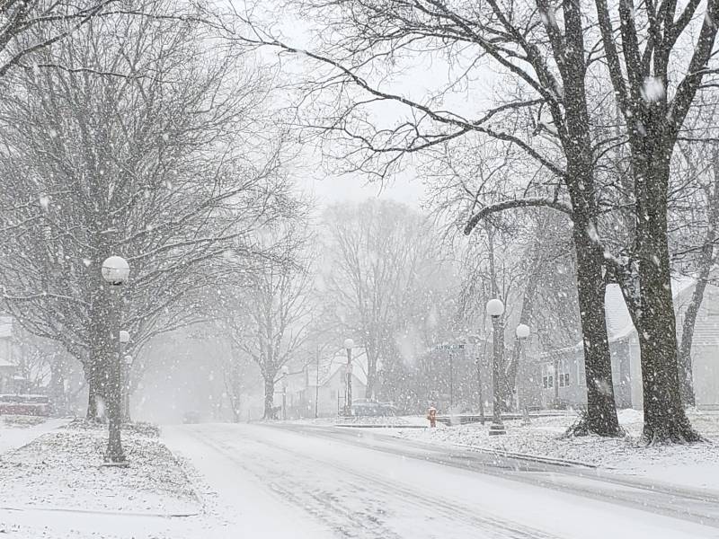
You could probably correctly guess that the snow that did fall, fell during that very cold stretch to start off the month. Indeed, all 2.1″ of the measureable snow that fell during the month of March fell between the 4th and 8th.
The heaviest rain was split between a pair of storm systems. 1.17″ fell on March 10th, with another roughly 2.5″ falling during the rainy and stormy stretch that ended the month from March 28-31. The first big thunderstorm of the year moved through during the early morning hours of March 29th — all while your thunderstorm-loving-local-meteorologist was miles away in snow-covered Montana!
So March finishes colder than average, and wetter than average in Champaign-Urbana… what’s in store for April?
Well, I’d say you can expect another month that finishes wetter than average, but flip the temperature script to slightly above average for the month of April in Central Illinois.
We’re off to a cool start in the first few days, but the forecast is warm on average for the next 7-10 days. In fact, this weekend will probably feature the nicest weather of the spring so far, even if we do see a few Sunday thunderstorms.
Beyond the middle of April, predictability with this current weather pattern is quite low. If I was forced to give my best guess right now it would be for the pattern to remain fairly active with chances for rain and storms every 3-5 days. Temperatures will likely continue to ride the spring rollercoaster, but I think we may trend to near average, or slightly below average mid to late month. But still, I see nothing that suggests bitterly cold temperatures moving back into the Midwest. When we talk about high temperatures being slightly below average, we’re still talking about days in the 50s and 60s.
We’re certainly not looking at a repeat of April 2018 which featured bitterly cold temperatures and accumulating snow all the way into mid-month — that much is clear! I think by the end of the month, we’ll be looking back on an April that felt pretty typical.
Photos from Andrew Pritchard