The spring vibes just keep on rolling in the Midwest this year! As I sift through my Facebook memories every few days, I’m reminded of the last few years and how spring warmth has seemingly taken forever to arrive. When I think of March weather of the last few years, I think of gray skies, cold and windy afternoons, and periodic snow flurries. Not in 2023. Not all of it, anyway.
Instead, a mild winter has transitioned seamlessly into an early spring in Central Illinois. As a colder weather pattern set in during the second week of March, I questioned how long the cold air would be able to hold on before that familiar warmer pattern returned. While we did indeed resume springlike vibes by the final week in March, we crammed in one last winter blast, poorly timed with spring break for many local kiddos.
The first ten days of March featured a run of very warm conditions, with several days having high temperatures in the middle to upper 60s, around 15 degrees warmer than average. The spring break wintery blast sent temperatures all the way into the teens for overnight lows March 18-20, some 15 to 25 degrees colder than average. By March 31st, we were back in the middle 60s and under a tornado watch.
March finishes near average temperature wise, just 0.7 below the monthly mean. To call the month anything that resembles average would be burying the lead big time.
With a very active storm track running right through the Midwest, precipitation finished well above average locally. Total precipitation in Champaign-Urbana for March 2023 came in at 3.78”, which is just over an inch above the monthly average of 2.77”. We picked up 0.8” of snow in March, below the average of 2.5”.

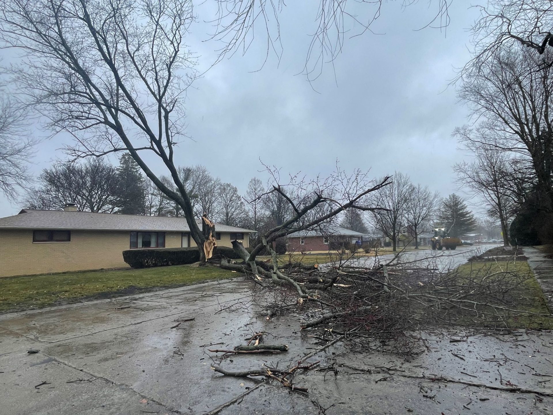
Most notable through the month was a storm system on March 4th that brought 70 mph non-thunderstorm wind gusts that uprooted trees and snapped powerlines across Champaign County. Heavy rain transitioned to heavy snow in the afternoon which was accompanied by thunder at times.
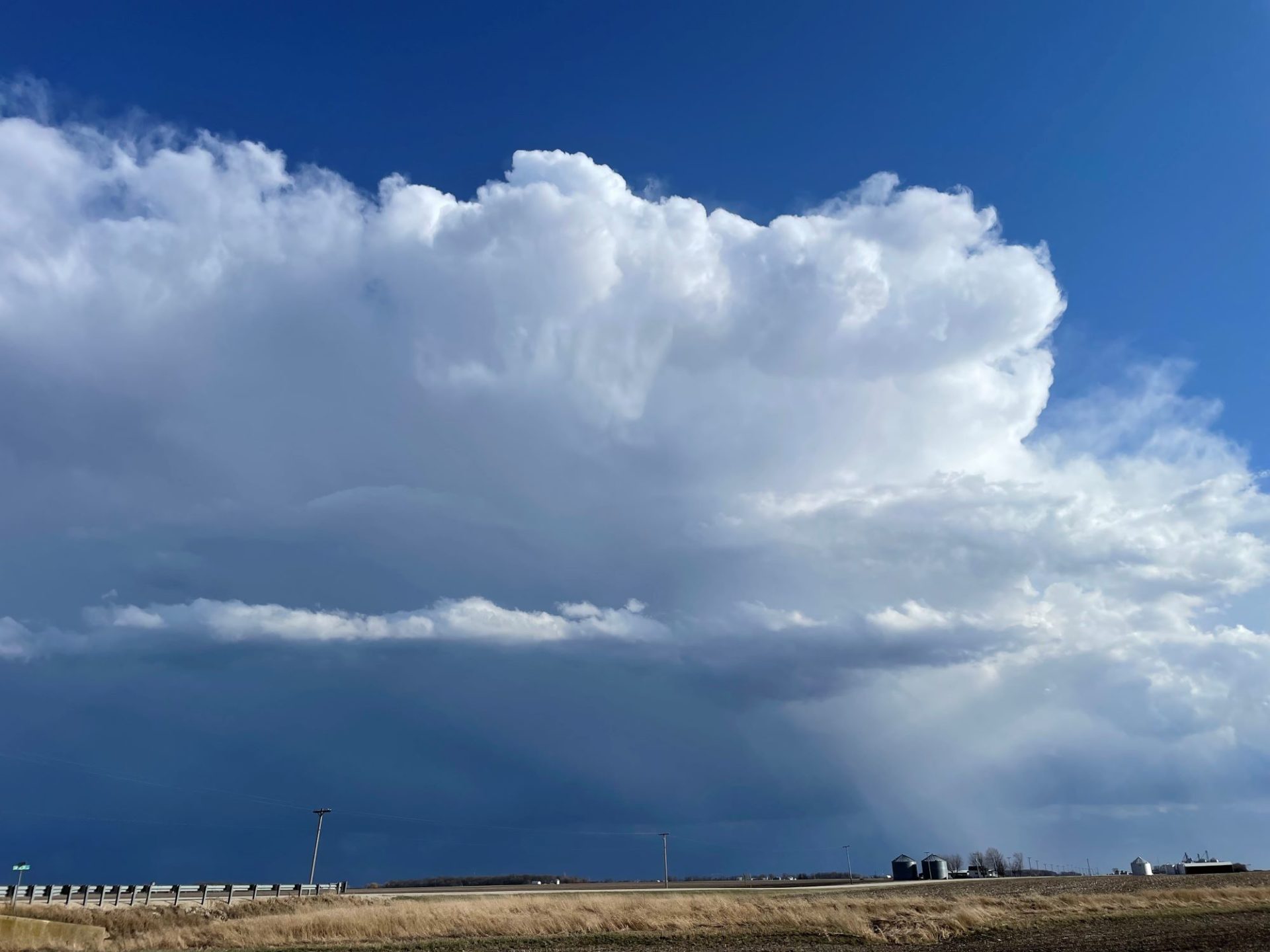
On March 31st, a widespread outbreak of severe thunderstorms brought tornadoes and high winds to Champaign County. A tornado touched down in northern Champaign County, destroying homes and businesses near the communities of Fisher, Dewey, and Rankin, and blowing vehicles off Interstate 57 north of Rantoul. A severe storm that swept through Champaign-Urbana clocked wind gusts over 70 MPH at Willard Airport and in southern Urbana.
Severe weather continued to slam the Midwest in the first week of April, but the weather pattern has turned cooler and quieter in the second week. What’s in store as we move ahead?
Unfortunately, the break from severe weather may only be temporary. There’s quite a bit of evidence in longer term forecast models that an active weather pattern will likely return to the Central U.S. in the last half of April. This should signal the return of warmer weather in the Midwest in the last half of April but may also mean we’re again contending with severe storms locally.
Overall, I think April 2023 finishes with temperatures again near average while understanding that this will include a lot of week to week and at times, day to day variability. Precipitation is likely to finish near or above average overall, acknowledging the dry stretch we’ll see in the second week with the expectation of returning to a rainy, stormy pattern in the last two weeks of April.
For now, enjoy the sunny, warm weather and be ready for those Midwestern weather bumps we see every spring!
Andrew operates Chambana Weather, where he publishes daily weather information for Champaign-Urbana and surrounding communities. He also serves as Senior Meteorologist with Nutrien Ag Solutions at Research Park, focused on domestic and international weather and its impact on agriculture.


