


As we finished digesting our Thanksgiving feasts, I looked ahead to a December that was likely to get off to a mild and dry start, with a potential shift toward an active regime by mid-month. How’d I do?
December 2020 does come to a close on the warm side. The average monthly temperature in Champaign-Urbana was 33.5 degrees, a balmy 4.5 degrees above the monthly average. Several days with high temperatures in the 50s and 60s made a big difference.
The jet stream across the U.S. did shift toward an active pattern that sent storm systems through the Midwest but Central Illinois ended up whiffing on most of these opportunities. Instead of accumulating well-timed holiday snow in C-U as they were in surrounding portions of the Midwest, we saw mostly rain showers and light snow flurries. Total precipitation for December 2020 finishes at 1.43″, about half of our December average of 2.73″ in Champaign-Urbana. Of that, 1.3″ fell as snow, well below our average December snowfall of 6.6″.
A few snow flurries got us started on December 1st, an appropriate opening for Climatological Winter 2020-21! The vibe changed quickly, however.
Out of 31 days in December, 23 were “warmer than average”. Of those 23 days, 10 of them were more than 10 degrees warmer than average. Again, that meant a lot of days with high temperatures in the 50s, with a maximum of 62 degrees on December 10th.
As we approached mid-month and a more active weather pattern arrived, shots of cold air began to make their way into the region. One particular blast of arctic air sent our low temperature plunging to six degrees on Christmas morning! In fact, Christmas Eve and Christmas Day were the coldest days in the entire month of December here in C-U. This was a bummer for folks like myself who thought they’d navigate COVID-19 and the holidays with a few outdoor greetings.
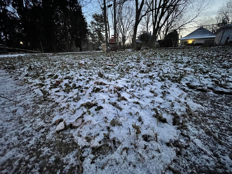
Photo by Andrew Pritchard.
Shots of colder air was about all the pattern amounted to locally. While we did see snowflakes in Champaign-Urbana on six days over the last half of December, much of the accumulating snow with the pattern was distributed across portions of the Upper Midwest and New England. December 16th and December 25th were the only two days with anything other than a trace of snowfall reported.
As we head into January, prepare for more cold. The warmer, more tame jet stream pattern that has guided us to this point appears to be breaking down over the next few weeks. Initially, we may avoid anything I’d consider bitterly cold. The first two weeks of January are likely to feature a bunch of days with highs in the 30s and lows in the 20s.
If you’re like me and feel that “If it’s going to be cold, it had better snow”, adjust your expectations. While a few sneaky disturbances could provide a few snow flurries, the forecast into mid-month is bleak in terms of accumulating snowfall. Of course, as some folks in portions of Central Illinois awoke to an overachieving 6″+ of new snow on Sunday morning, surprises can occur and my crystal ball is only so clear.
Eyes are on the “polar vortex” as we head into late January. Without getting into the nitty-gritty (we’ll talk more if it materializes) there is some potential for a much colder regime in the Midwest by late January. That means seasonably appropriate cold January temperatures may lead us into a frigid finish. At this range, it’s simply a forecast trend to watch.
So with all of that said, the pattern heading into January has me thinking near average temperatures and below-average precipitation. For context, the monthly average temperature for January in Champaign-Urbana is 24.8 degrees, and the average monthly precipitation is 2.05″. Of that, we typically see around 7″ of snow.
Andrew operates Chambana Weather, where he publishes daily weather information for Champaign-Urbana and surrounding communities. He also serves as Senior Meteorologist with Nutrien Ag Solutions at Research Park, focused on domestic and international weather and its impact on agriculture.
Champaign-Urbana monthly climate statistics are courtesy of the Illinois State Water Survey.