


We’ve got our first month of 2021 in the bag, and it felt a little bit like weather was simply background noise locally. I called for a near-average January with respect to temperatures with drier conditions likely, with a potential turn toward bitterly cold conditions late in the month.
I wouldn’t call it my worst monthly outlook ever, but it wasn’t great either when put up against the details.
January actually finished 4.5 degrees warmer than average, with a monthly mean of 29.3 degrees. January precipitation came in a tick above average with 2.33″, surpassing the January norm of 2.05″. Snowfall was below average with only 5.1″ being measured, compared to an average of 6.8″.
Did last January register as warmer/wetter locally? It didn’t for me.
I will say my call for “a bunch of days with highs in the 30s and lows in the 20s” may not have been bold, but was fairly spot on. 23 of 31 days in January featured high temperatures in the 30s, but a couple of multi-day stretches with highs in the mid-40s helped nudge the month above average. The warmest day in January 2021 was the 21st with a high of 48 degrees, and our cold point came immediately after (funny how often that works out, huh?) with a low of 10 degrees on the morning of the 23rd.
I will say that with moderate drought across portions of Central Illinois, it was nice to trend toward a slightly more active pattern. The issue has been the relatively frequent, but light precipitation events locally. Our January 2021 total was aided significantly by two particular storm systems — one at the top of the month and the other as we closed out the month. Without receiving 0.65″ on the 2nd, and 0.89″ on the 31st we’re looking at a bone-dry month. Scattered throughout the month were 13 additional days in which we recieved precipitation in Champaign-Urbana, but measured less than a quarter of an inch of precipitation.
On the morning of January 3rd, 2.2″ of new snow was measured in Champaign-Urbana. Snowflakes fell on 12 additional days during the month, but all of which produced less than one inch.
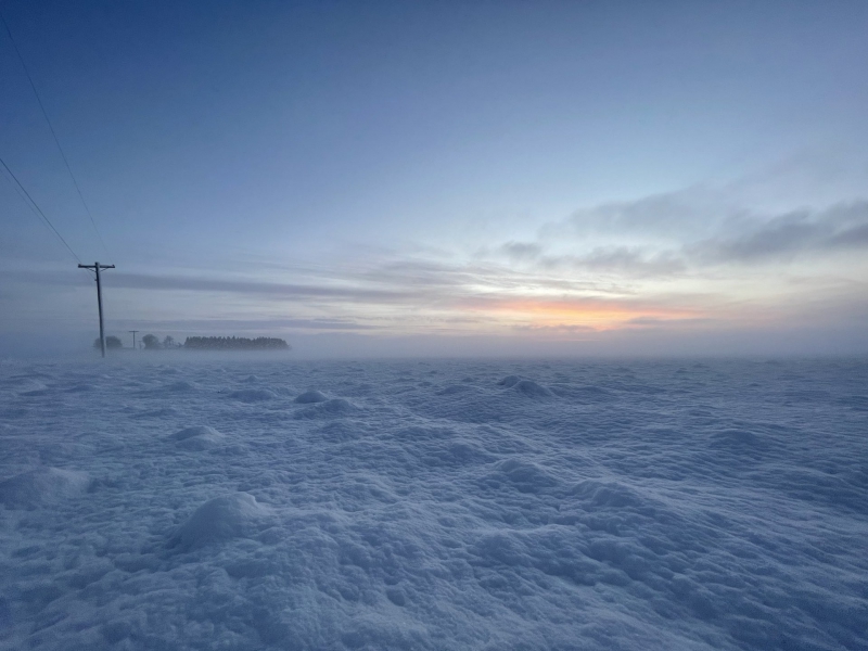
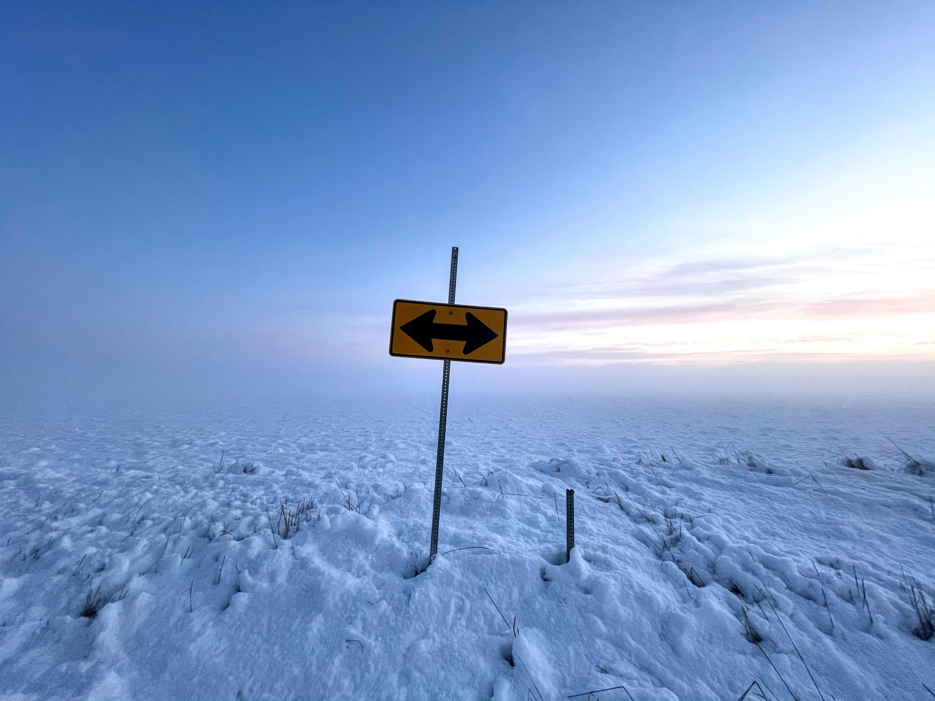
Photo by Andrew Pritchard.
There was some beauty to be had, though! Remember in early January when that 2.2″ of heavy, wet snow coated our tree branches, only to be coated further by a round of freezing fog? We were all treated to a quick meteorology 101 lesson on “graupel” in January as well, with multiple days of that soft-hail, snow-pellety precipitation falling across the area.
February is making my job easy. It’s going to be cold. Probably VERY cold at times. The jet stream pattern is rearranging such that over the weekend into next week we’ll be receiving several shots of cold, arctic air via the Canadian Prairie. If I tell you that folks in the Dakotas into the Canadian Prairie will be seeing air temperatures of -30 degrees next week, our outlook won’t seem so bad!
My guess after this week, we don’t see another warmer-than-average day until at least mid-February. We will almost certainly see our first sub-zero temperatures as we head into early next week. Looking toward the end of February it is possible that the coming extreme cold begins to fade, but there is nary a sign of a sudden warm-up and rapid thaw in the 3rd or 4th week of the month. Instead, I’d expect a bitterly cold first two weeks of February with multiple days of sub-zero temperatures possible, followed by seasonably typical late-February cold to finish the month. That would obviously amount to a colder-than-average month overall.
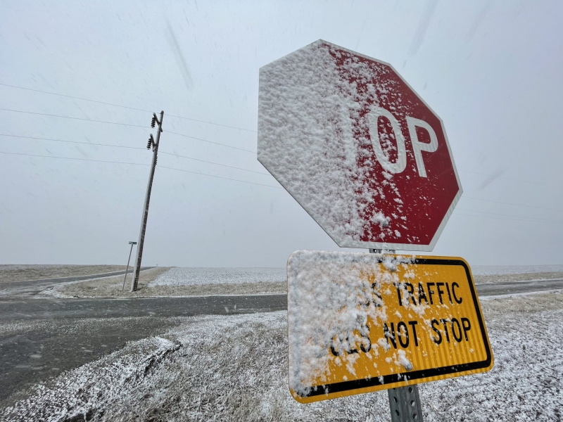
Photo by Andrew Pritchard.
What about snow? If it’s going to be frigid outside, it had better snow, right? There are opportunities as soon as the next few days.
We’ll be missed to the north by a swath of accumulating snow on Thursday, with mostly cold rain falling in Central Illinois. However, as we shift into this very cold weather pattern, we’ll also see clipper systems swing out of the Canadian Prairie bringing chances for (often light, very fluffy) snow this weekend into next week. The truth however, is that bitterly cold air does not hold very much water vapor, and you need water vapor to create snow. So while we can get the rogue over-producing clipper system, this pattern often results in lighter doses of snowfall vs the bigger 6″+ events that are accompanied by temperatures that are hovering near freezing. There’s a reason that those storm systems that have us riding the rain/snow line in Champaign-Urbana are so heartbreaking with swaths of heavy snow just out of our reach.
Warmer air holds more water vapor which produces more snow, so it then makes sense that if you’re hoping for maximum snowfall, you typically want an airmass that is as close to above-freezing as possible, without being above-freezing. All of this is to say that it is not true that colder = snowier. Quite the opposite, unfortunately.
I’ll take a sip of my coffee (thanks, Page Roasting Co!) and step back though, because this is more about the snow formation process than you’ve asked to hear about.
Let’s keep it simple. February is going to be cold. Really, really cold at times. There will be snow, but often coming in small doses. Fingers crossed for an overachiever this weekend. I’d expect February 2021 as a whole to come in colder than average, with near average precipitation.
For context, the February mean temperature is 29.0 degrees (highs mid 30s, lows near 20) and the average monthly precipitation is 2.13″, with 5.8″ of average snowfall.
Andrew operates Chambana Weather, where he publishes daily weather information for Champaign-Urbana and surrounding communities. He also serves as Senior Meteorologist with Nutrien Ag Solutions at Research Park, focused on domestic and international weather and its impact on agriculture.
Champaign-Urbana monthly climate statistics are courtesy of the Illinois State Water Survey.