


You were warned! At the end of my October review I gave a very wintry outlook for the month of November. You were to prepare for a November that brought very cold air, with about average or slightly above average precipitation. With that very cold air, I had high confidence in at least one or two snow events in Champaign-Urbana.
How’d we do?
This was perhaps my best monthly forecast yet! I promised cold air with near or just above average precipitation and that’s just what we ended with. November came in 5.8 degrees colder-than-average with an average temperature of just 35.5 degrees. Precipitation was just above average with 3.71″ of total precipitation, just 0.03″ above the monthly average of 3.68″ for the month of November.
Let’s break it down a bit from there.
We flirted with average temperatures for the first week of November with daily temperatures generally staying within a few degrees of average. But then mid-month the bottom fell out. The coldest air moved in from November 9-16 when we fell over 10-degrees below average and stayed there. A record low of -17 degrees was set on November 10th, breaking a record that had stood since 1933.
For more cold context, the period of November 9-20 only saw two days with high temperatures above 40 degrees. Consider now that the average high temperature for mid-November should be in the middle 50s, and we were hanging out in the 20s and 30s daily!
We hopped on a temperature rollercoaster to finish the month trending warmer than average from November 22-25 before falling back to a colder weather pattern to finish the month.
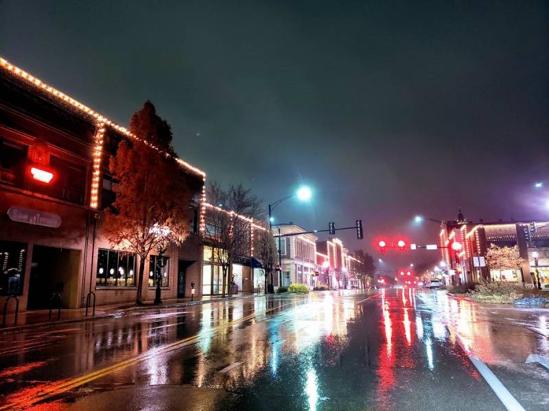
November was not only cold, it was rather gloomy as well. Precipitation fell on 22 of 30 days in November.
We saw our first big snows in Central Illinois. In a month that averages less than an inch of snow each year, we piled up 3.3″ with snow falling on 9 different days in November. Champaign-Urbana just missed out on a rather large winter storm that brought a foot of snow to parts of northern Illinois on November 15th, but we still measured 2.6″ here in C-U.
So what’s the outlook for December? Well, we started the month with temperatures near 60 degrees and severe weather on December 1st. I’d advise you to not get used to that kind of thing.
We’ve since trended colder, and colder is where I think we’ll stay until at least mid-December. The difference between November and December I think will end up being a more progressive weather pattern, which means more variety for us here in the Midwest. Rather than being locked into one single weather pattern for weeks on end, be it cold, warm, rainy, dry, I think we’ll see semi-weekly variations.
While we’re cold this first week of December, there appears to be a warm-up pegged for mid-December. Following that, rather than locking into that warmer pattern it appears that we’ll continue an active storm track which would suggest more of a rollercoaster temperature ride and periodic chances for precipitation as we approach the holidays. A snowy Christmas? That just depends on how the cards are dealt. An active storm track is the first step. Making sure we end up on the cold side is the next, otherwise we’re looking at a muddy holiday season!
My final call for December is average across the board. I expect near average temperatures, with at least a pause in the *extreme* cold. An active storm track, especially mid-late month makes me think we’ll end near average in the precipitation department as well. For reference, December averages 2.73″ of liquid precipitation and 6.6″ of snow annually.
Andrew operates Chambana Weather, where he publishes daily weather information for Champaign-Urbana and surrounding communities. He is also an agricultural meteorologist with Nutrien Ag Solutions at Research Park, focused on domestic and international weather and its impact on ag.
Champaign-Urbana monthly climate statistics are courtesy of the Illinois State Water Survey.
Photos by Andrew Pritchard