


Wild weather continues to dominate the news cycle globally, and Central Illinois had their own fun in 2021. Before we buckle up for another wild year of Midwest weather, let’s take a look back at the weather stories that accompanied us through the last year.
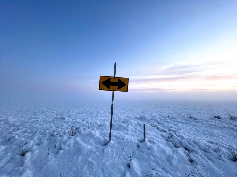
Photo by Andrew Pritchard.
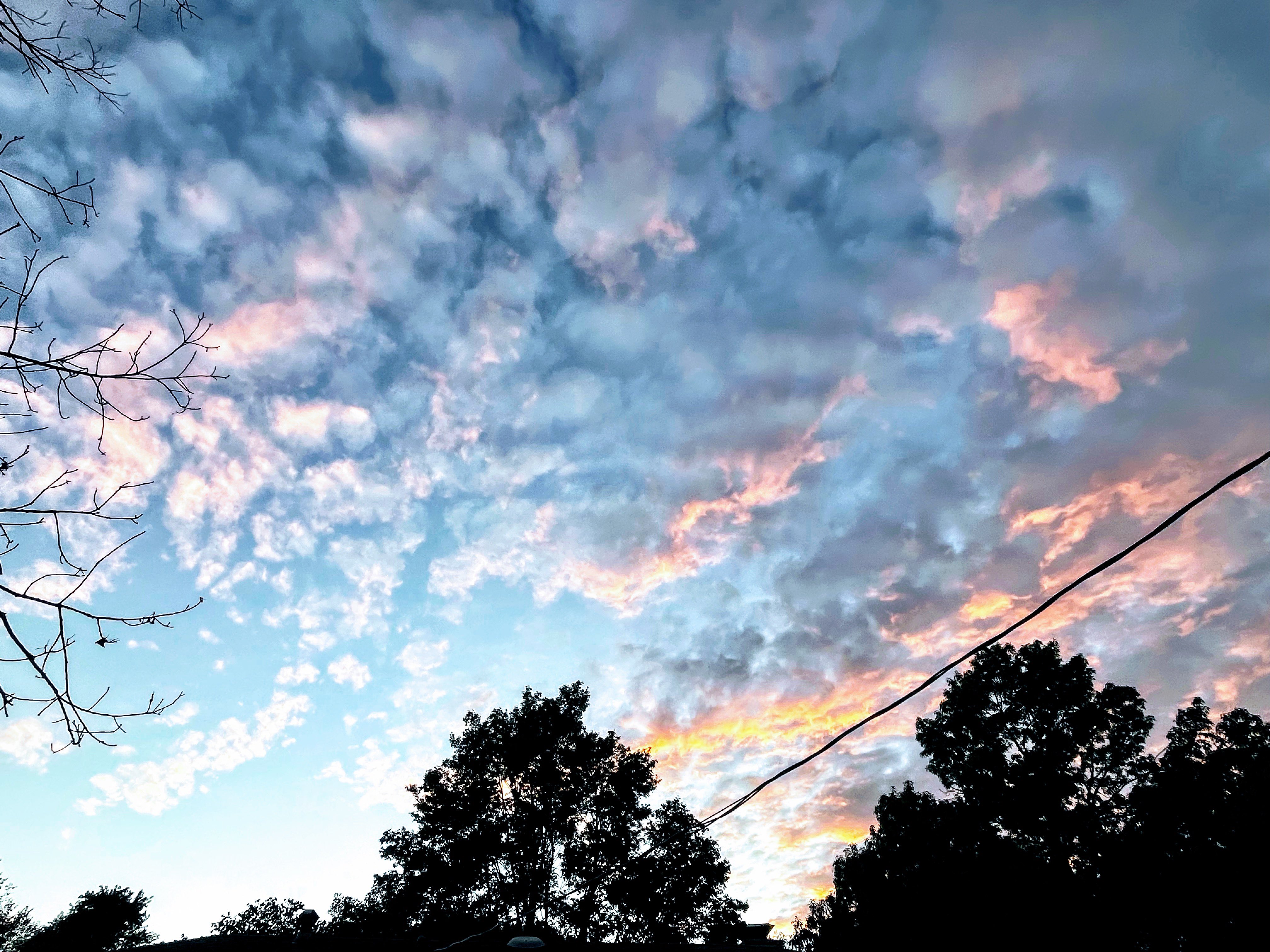
Though it didn’t feel like it, January got off to a warm and active start. Two bigger storm systems bookended the month, with frequent flurries and light snow filling things out in between. January 2021 can be best remembered for the beautiful wintry scenes that it cast across Central Illinois through heavy, wet snow along with freezing fog casting an icy glaze on snow covered trees.
Rather than letting us off the hook with an early thaw, February brought the deep freeze. We saw our coldest temperatures of the year in mid-February with sub-zero overnight lows and 7″ of snow falling in the days following Valentine’s Day.
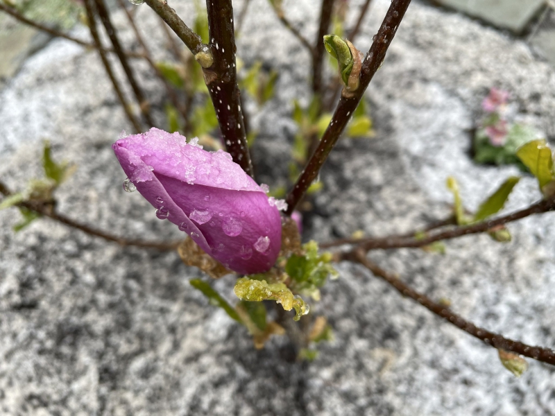
Photo by Andrew Pritchard.
March was rather forgettable, then to our dismay, April brought one last winter hurrah. Record cold temperatures were accompanied by some light accumulating snow April 20-22, and in true Midwest fashion, it was 80-degrees later that same week.
May and June brought localized drought concerns as what is typically our rainiest and stormiest time of the year came and went with a snore. When we’d typically be weathering our peak severe weather season most weren’t complaining as we enjoyed generally benign, sunny and warm conditions through much of May and the first three weeks of June. Almost seven weeks passed between Champaign-Urbana receiving 1″ daily rainfalls from May 9th to June 25th. While the Twin Cities were mostly missed, it’s worth noting that the mini-drought was brought to a close by severe storms on June 25-26 that produced tornadoes across Central Illinois.
Photo by Andrew Pritchard.
July was predictably hot, humid, and stormy with record setting rains falling in August. North of Champaign-Urbana in Gibson City heavy rain and storms set up overhead the morning of August 12th and did not relent until the afternoon hours. A 1 in 1,000 year flood buried the city in nearly 10 inches of rainfall in one day flooding streets, homes, and businesses.
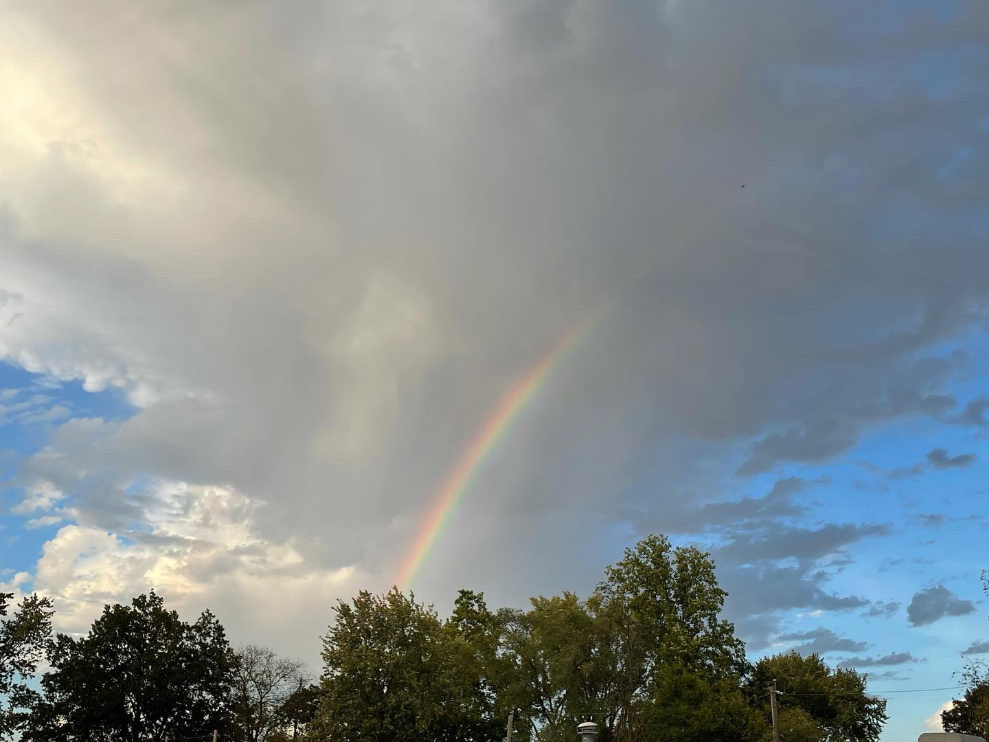
Photo by Andrew Pritchard.
After the first few months of 2021 featured record cold outbreaks, the year concluded with stubborn warmth that refused to give in to winter. October was quite cold in 2019 and 2020, even featuring early snowfall in Champaign-Urbana. Not so in 2021 as record warmth kept temperatures in the 70s and 80s with severe storms in portions of Central Illinois on October 11th and 24th. October went down as the warmest and wettest on record across much of the region.
The Midwest weather pattern was again mostly benign in November before record warmth and severe weather returned in December. December 10th featured a devastating outbreak of severe storms and tornadoes from Illinois to Kentucky and Tennessee. Another disruptive storm system brought temperatures in the 60s to Central Illinois and more Midwestern severe storms on December 15th.
Truly cold air was not able to break into Central Illinois until the first week of January 2022. Related, we’re still waiting on our first 1″ of snow in Champaign-Urbana and continue to set a new record for the latest first 1″ of snow each day we go without. The previous record was January 4th.
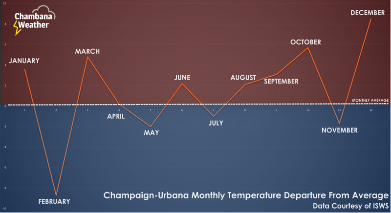
Image provided by Andrew Pritchard.
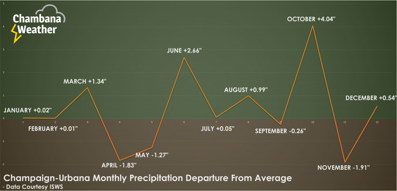
Image provided by Andrew Pritchard.
Record cold in February, snow in April, mini-drought in May and June, and a warm and stormy fall and early winter made the biggest headlines in 2021. What awaits in 2022? We’ll see!
As noted above we’re already off to a curious start with a record snow-free winter to this point. The pattern figures to break sometime — will we endue another never-ending winter that lives on into April? Will May and June return to their stormy form? Is big heat in our future this summer?
The only thing we know for sure is that whatever the weather, we’re all in it together.
Andrew operates Chambana Weather, where he publishes daily weather information for Champaign-Urbana and surrounding communities. He also serves as Senior Meteorologist with Nutrien Ag Solutions at Research Park, focused on domestic and international weather and its impact on agriculture.
Champaign-Urbana monthly climate statistics are courtesy of the Illinois State Water Survey.