


This summer I’m going to be travelling to Yosemite National Park, and I’ve been spending some time examining the various trails it has to offer, all of which offer spectacular views of El Capitan, Half Dome, Glacier Point, etc, etc. I find that when I visit such places — our family experienced Yellowstone and The Badlands a few years ago, I took in the breathtaking beauty of Hanging Lake Trail in Colorado last year — I end up lamenting my return to Central Illinois and the flat landscape of the Midwestern prairie. However, while we may not have the stunning vistas of places with rockier topography, there is much to appreciate about the beauty of the prairie and the forests of Illinois.
The Champaign County Forest Preserve District has several trail options, though I realized last week that I have really only explored a small number of them. I’m pretty familiar with Homer Lake, and I’ve visited various parts of Lake of the Woods before, just haven’t chosen to spend much time on the trails. Then, as I started digging into their website, I realized there are forest preserves in the district that I never knew existed. So, with my oldest child in tow for exploitation of her photographic skills, I ventured out west, for about eight miles, on a toasty Sunday afternoon to try out two new to me trails: Buffalo Trace Prairie at Lake of the Woods, and Riverbend Forest Preserve just south of Mahomet.
Buffalo Trace Prairie
Lake of the Woods Forest Preserve has a lot going for it: Museum of the Grand Prairie, a golf course, botanical gardens with a pond and bridge that lend themselves to lovely wedding/family/engagement photos, a one room schoolhouse, concerts and events, you get the idea. It also has a 3-ish mile paved path that winds through the entire length of the preserve. I was looking to go a bit more off the beaten path so to speak.
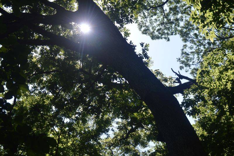
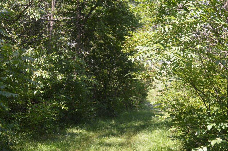
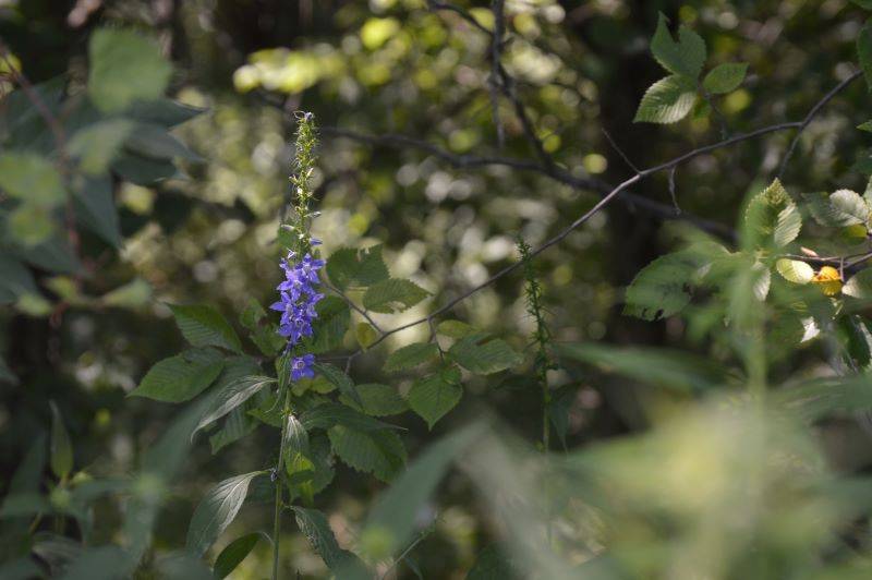
Before I get into what we found at Buffalo Trace, we did take the short half mile walk through the Rayburn-Purnell Woods. It was shady and green, though I think you might get a bit more out of the walk in the spring or the fall. July is in between the blooming of spring native plants and the appearance of fall colors so there wasn’t much color to be found.
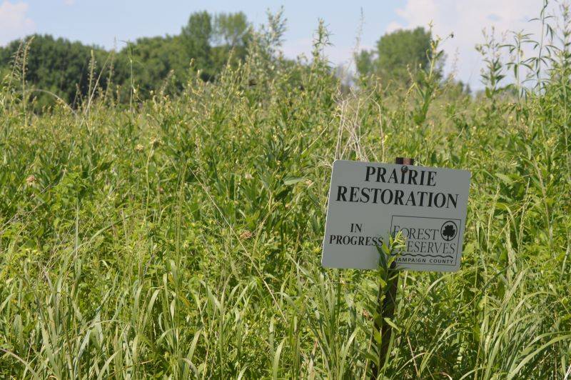
Buffalo Trace Prairie is in the process of being reconstructed by the Champaign County Forest Preserve District. Once an area with bison grazing, it’s now “actively managed through strategic mowing, seed collecting and dispersal, planting, invasive species removal, and prescribed burns,” according to the CCFPD guide. The guide also gives photos and descriptions of the types of native plants you will see along the way as you traverse the paved and mowed trails. We printed it out so we had all of the learning at our fingertips.
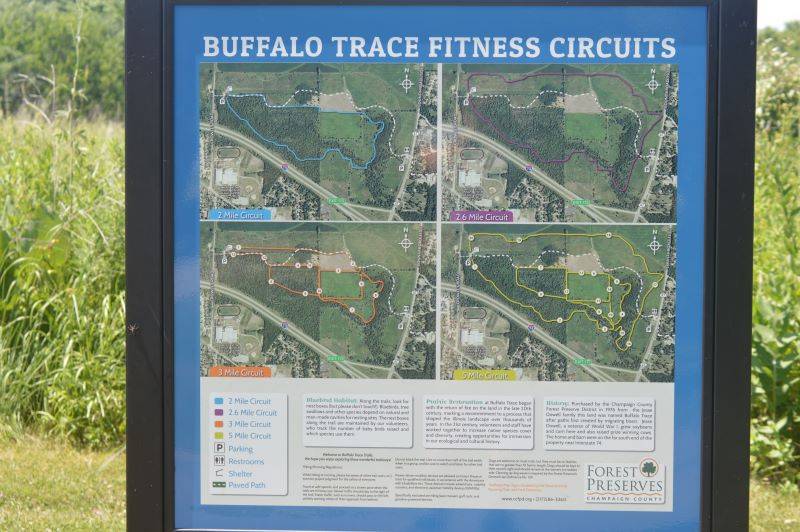
People wanting to work on their fitness will find a circuit map at the head of the trail, that gives you the path to follow if you want anywhere from a two to five mile experience. For our purposes, we chose the “we will stroll until we get too hot and need the air conditioning” route.
We walked a bit of paved path and a bit of mowed path and saw many of the plant species indicated on the guide:
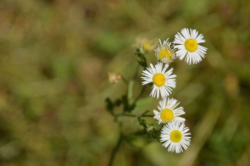
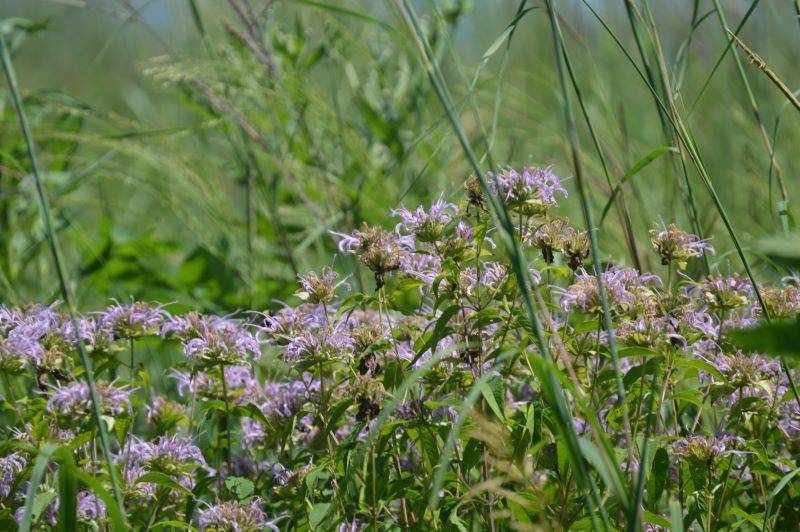 Bergamot
 Quinine, Bluestem, Indian grass
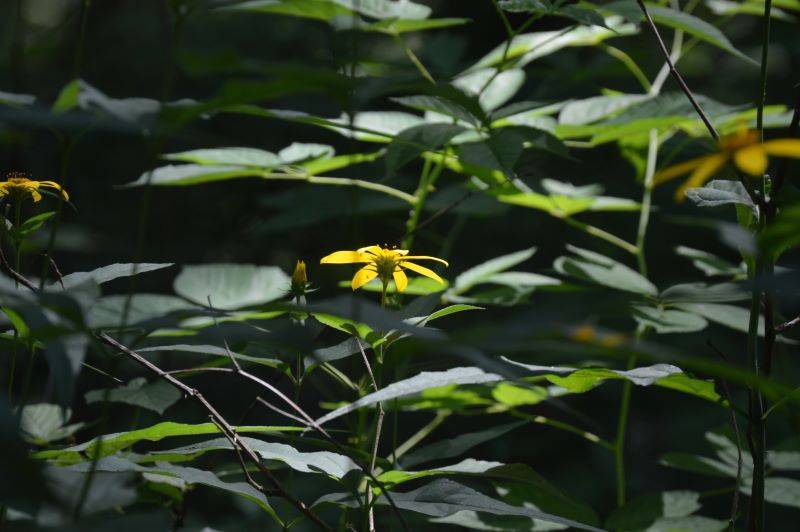
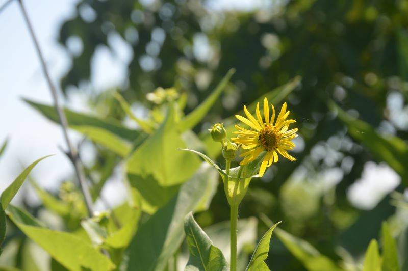 Prairie Dock
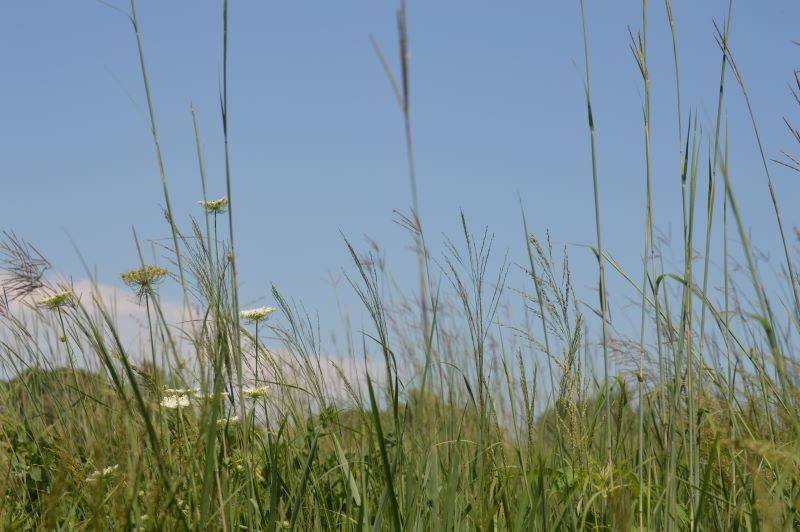
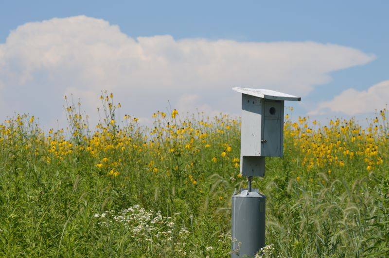
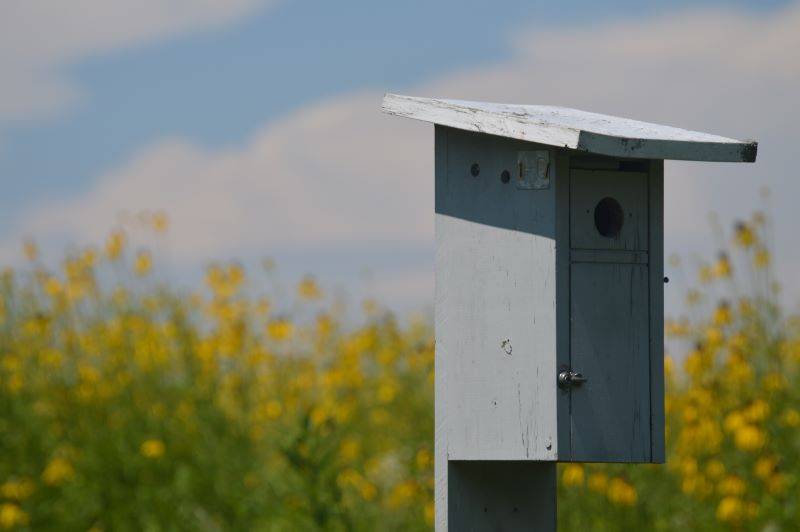
My favorite section of prairie was this one, with the little birdhouse (?) and backdrop of coneflowers. Against the day’s stunning blue sky, it was a beautiful scene, and made us feel like we were dropped in the middle of a Laura Ingalls Wilder book.
Riverbend Forest Preserve
Okay first of all, I didn’t even know this place existed. As Google Maps directed me there, I realized I’d driven by the sign on Route 47 about 382 times, but it just never registered in my brain. Riverbend is just west of Route 47, south of Mahomet. It’s easily accessible but tucked away enough that you don’t feel that close to civilization.
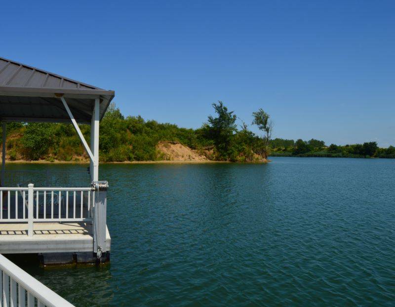
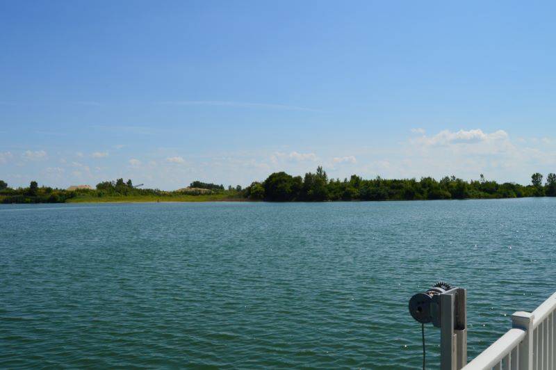
It’s comprised of two lakes: Sunset and Shadow, where non-motorized (except for trolling motors) boats are allowed, as well as fishing. There’s a very nice fishing pier and gazebo, that upon further reading I learned was called Possibility Pier, because it was designed for accessible fishing. One can easily maintain a seated position and fish right off the pier.
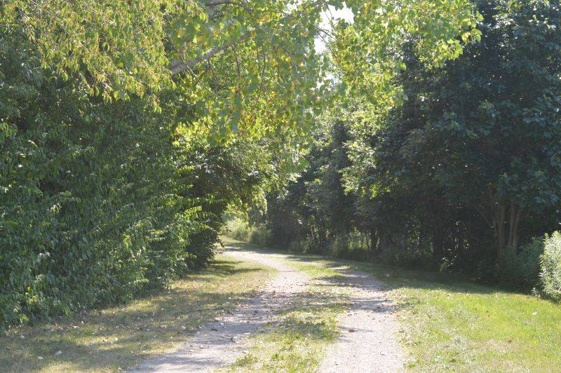
A forest runs along the Sangamon River, and two types of paths run alongside the forest; one multi-use and one that is just for hiking. The trail is just about a mile long.
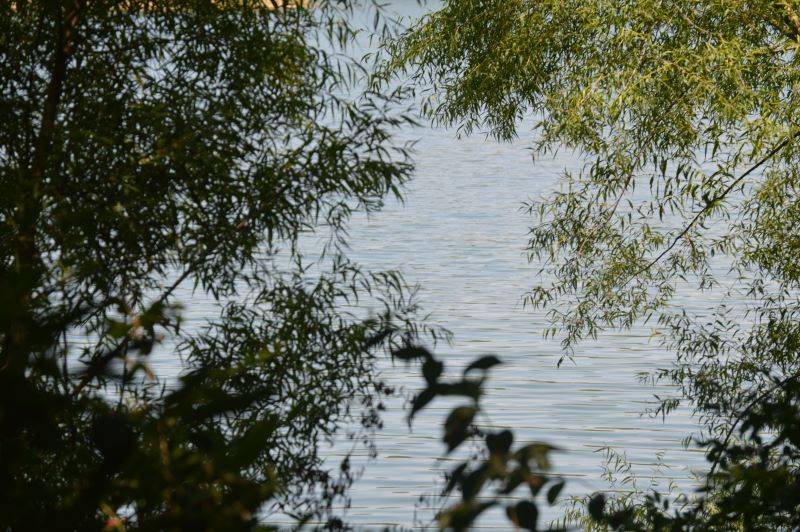
There were several places to stop and take in the views of the water, or breaks in the trees, and it was very peaceful. You could sit and listen for the sounds of the birds and the bugs and the rustling trees without other noise interruptions.
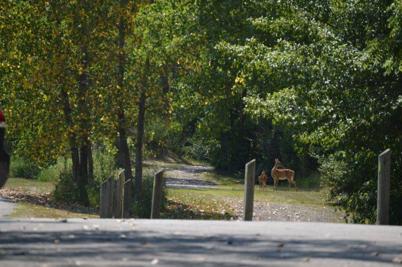
As we were in full melting mode and heading back to the car, we spotted a deer and her two fawns; a nice little bonus to end our day in nature.
Conclusion: Get out there and check out what these oh so close to C-U forest preserve trails have to offer. Pro tip: Choose a day that is not 90 degrees and humid. Are there going to be views that take your breath away? Probably not. But, there is much to appreciate about the simple, quiet prairie scenes that surround us.
Photos by Addison McClure