


With the calendar turning to March at the beginning of the week, we close the book on what is considered meteorological winter; the months of December, January, and February. How will you look back on winter 2019-20? Was it a cold-hearted joke from Mother Nature that the coldest air of the entire season arrived on Valentine’s Day?
As I recapped the months of December and January, I offered these words as we headed into the final month of winter:
“…hoping for any sort of late-rally in the form of extended bitterly cold temperatures or multiple significant snowstorms seems bleak these days as we look into the meteorological crystal ball. In fact, I see a lot of the same as we head through the rest of the month of February. We’ll see cold days, it’s still winter. But I think the warmer than average days will outnumber the cold days, and I’d be prepared to come up on the rainy side of these storm systems more often than not.
February 2020 likely ends just like it began; warmer than average, with near-average precipitation but below-average snowfall.”
Sounds about right, doesn’t it?
Well, it may surprise you to know that we actually came out above average for monthly snowfall! With a slight south adjustment to the typical storm track through the Midwest, we were able to sneak in small doses of accumulating snow. We just couldn’t quite tap into the heavier corridors of snow that C-U snow-lovers were dreaming about. It seemed like we’d get just enough snow to cover the grass, have it melt slowly over the next few days, only to replenish that light coating a few days later.
The month of February came in 1.9 degrees warmer than average, with an average temperature of 30.8 degrees. The warmer-than-average days outnumbered the cooler-than-average 19 to 9. It was a month of extremes, featuring a high temperature of 66 degrees on February 3rd, and an overnight low of -5 on February 14th. You won’t find many months with a 71 degree temperature swing!
Precipitation came in just a bit above average, with 2.67″ of total precipitation. The February average in Champaign-Urbana is 2.13″. As I mentioned above, with 8.5″ of snow we eclipsed our February average of 5.8″. You might be asking, “Hey, where was my 8.5″ of snow??”
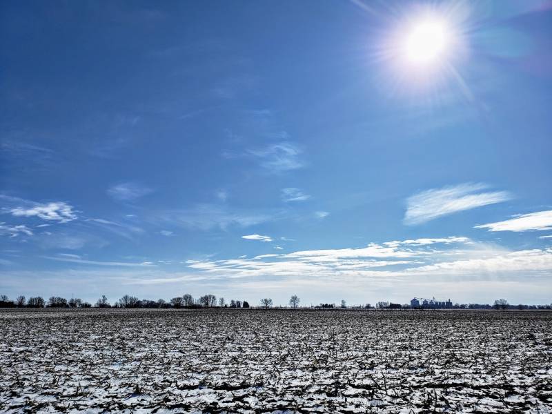
Photo by Andrew Pritchard.
Well, when it’s coming at 1 to 2 inches at a time in an unseasonably warm air mass that only allows it to stick around for a day or two before melting, it’s easy to miss.
The biggest single-day snowfall of the winter season came on February 13th when 3.1″ fell on the Twin Cities, just before our big Valentine’s Day freeze. Otherwise, it was 1.2″ on the 6th, 1.9″ on the 9th, and 1.7″ on the 26th. We saw a trace or a few tenths of an inch on several other occasions.
So February, a month of extreme temperature swings, but one that comes in a bit warmer, a little wetter, and a little snowier than average. What do we have in store for March?
March looks like classic spring to me. We’re off to a warmer start, and I see a lot of warmth looking ahead into mid-March. At the same time, we’re not soaring into an early summer by any means. While the warmer days will again likely outnumber the cooler days, we’ll certainly ride that early spring temperature rollercoaster at times.
The pattern looks active, which makes me think we end up a little on the wetter side as well. With an active spring-like pattern comes the risk of thunderstorms, and perhaps our first taste of severe weather in Central Illinois. Severe weather season is already off to a roaring start with the devastation in the Nashville area on March 2nd, and it looks like this may be an early sign of things to come across the Midwest. While historically, it is still possible to see big snow in Central Illinois during the month of March, it is going to take a major pattern change for that to become a reality.
My best guess at a March 2020 snapshot in Champaign-Urbana? Temperatures overall warmer than average, but with 2-3 day stretches of cooler weather mixed in. Precipitation likely comes in wetter than average, perhaps with our first taste of severe weather by month’s end. For context, the average monthly temperature for March in Champaign-Urbana is 40 degrees, and the average monthly precipitation is 2.86″. We average 2.6″ of snowfall in March.
Andrew operates Chambana Weather, where he publishes daily weather information for Champaign-Urbana and surrounding communities. He is also an agricultural meteorologist with Nutrien Ag Solutions at Research Park, focused on domestic and international weather and its impact on ag.
Champaign-Urbana monthly climate statistics are courtesy of the Illinois State Water Survey.
Top photo by Andrew Pritchard.